 From December 25 2012 to January 31, 2013 Tamadaba installed on a Permanent Orienteering Courses, if you're interested in getting the map, send an email to info@orientagc.es
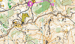
Included in the map pack itself will give you an instruction sheet, without a map overlay, a plastic sleeve, the controller description and a suggestion of Routes variations with the level of difficulty. The Cost of € 2.5 packis map. Scale.- 1:10.000 Terrain.- This a lovely pine forest at 1400m above sea-level. It can be steep in places however it is pretty runnable throughout. There are some flatter areas of good contour detail. Directions from Maspalomas
1 Comentario
|
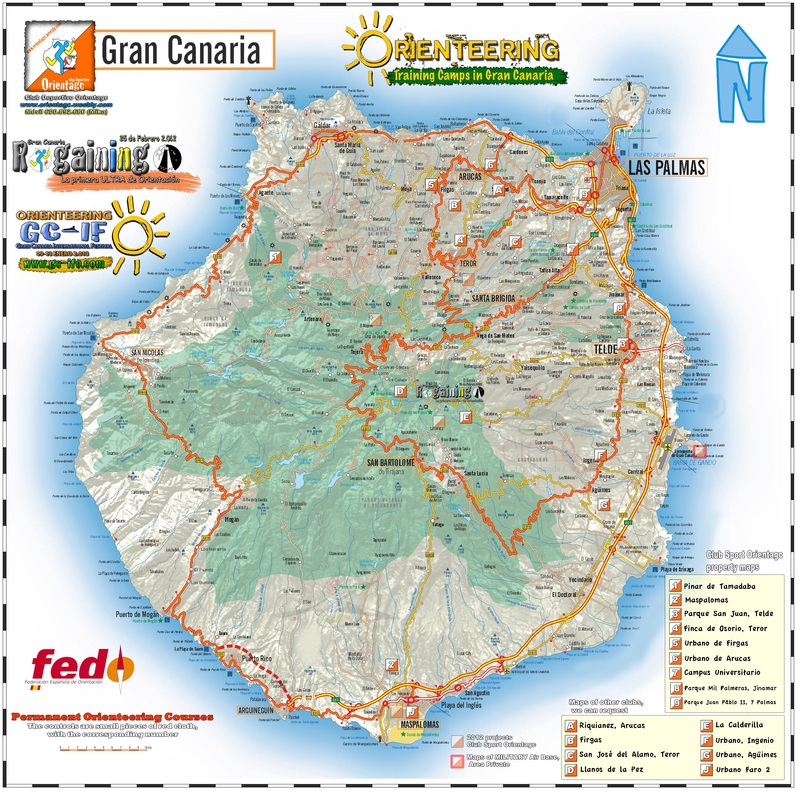
Orienteering Gran CanariaThe island of Gran Canaria is presented as an alternative to the harsh winter in northern Europe. Great Escape! Orienteering
|


 Canal RSS
